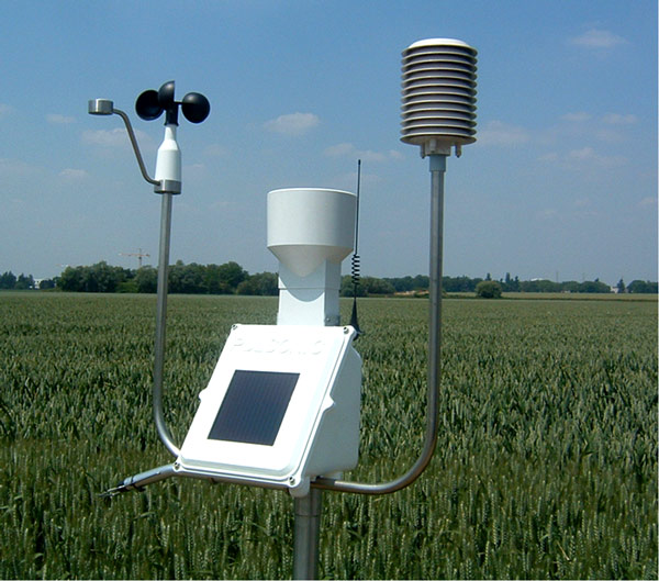
Wave Riders : Fine Real-Time Wave Measurement
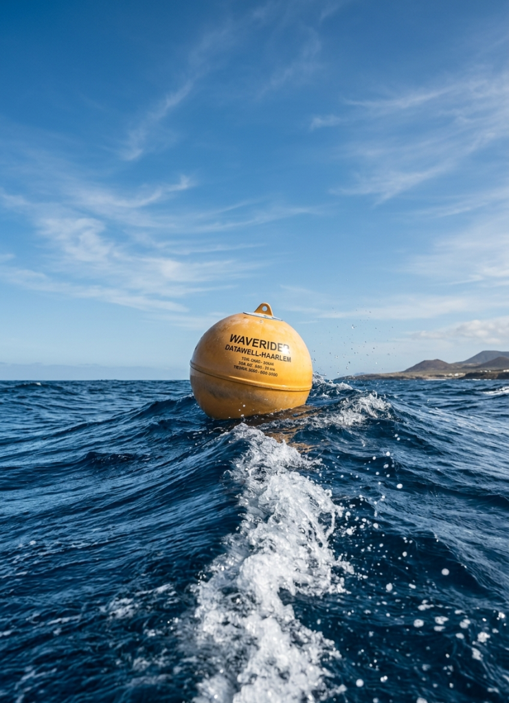
A wave rider consists of a spherical yellow buoy. By faithfully following the motion of the sea surface, this device enables us to gather critical real-time information on swell characteristics (height, direction, and period). These valuable data are then transmitted directly to land, to our wave measurement station, via a VHF radio link.
On a technical level, the device includes a specialized sensor called an accelerometer, designed to precisely measure wave amplitude. In addition, the directional wave rider model features a magnetic compass to track the propagation direction of the waves. Consequently, the deployment history is broken down as follows:
|
Site
|
Measurement Period
|
Instrument Type
|
|---|---|---|
|
Off Cape Tipaza Lighthouse
|
11 months of measurement between 1994 and 1995
|
Omnidirectional (DATAWELL type)
|
|
Au large du phare de cap Matifou
|
19 mois de mesure entre 1998 et 2000
|
Omnidirectional (DATAWELL type)
|
|
Off Cape Matifou Lighthouse
|
19 months of measurement between 1998 and 2000
|
Omnidirectional (DATAWELL type)
|
|
Off Cape Ras Afia Lighthouse
|
February to May & October to December 2000; January to May 2001; August to December 2002
|
Omnidirectional (DATAWELL type)
|
|
Off Azeffoun Port
|
July to December 1999; January to May & September to October 2000; January to May 2001
|
Omnidirectional (DATAWELL type)
|
|
Oran: Ghazaouet Port
|
October 29, 1979 to August 9, 1980
|
Omnidirectional (DATAWELL type)
|
|
Off El Kala Port
|
October to December 2001; 11 months in 2002; January to July 2003
|
Omnidirectional (DATAWELL type)
|
|
Off Skikda Port
|
June to December 2005
|
Omnidirectional (DATAWELL type)
|
|
Off Arzew Port
|
January to March 2005; January to March 2006 2005 et de mars à juin 2006
|
Omnidirectional (DATAWELL type)
|
|
Off Béjaïa Port
|
August, September, October, and December 2005; March to June 2006
|
Directional
|
Current Meters: Analysis of Marine Fluid Dynamics
Ocean currents play a crucial role in navigation safety, as well as in the execution of major maritime infrastructure projects. Indeed, studying flow dynamics is essential when designing harbor layouts, tracing access channels, placing interior pipeline structures, or organizing the logistics of an offshore construction site. Furthermore, a thorough understanding of current regimes is strategic for contingency plans against accidental marine pollution.
|
Site
|
Measurement Period
|
Instrument Type
|
|---|---|---|
|
Off Cape Tipaza Lighthouse
|
12 months of measurement starting December 16, 1998
|
Type: Aanderaa
|
|
Off Cape Matifou Lighthouse
|
02 months of measurement starting October 11, 1998
|
Type: Aanderaa
|
|
Off Zemmouri Port
|
11 months of measurement during 1999
|
Type: Aanderaa
|
|
Cherchell Hadjret En-Nouss
|
January 16, 1990 to October 10, 1990
|
Type: Aanderaa
|
|
Off Azeffoun Port
|
08 months of measurement starting August 10, 1999
|
Type: Aanderaa
|
|
Off Ras Afia Lighthouse
|
07 months of measurement starting February 07, 2000
|
Type: Aanderaa
|
|
Ain-temouchent – TERGA
|
March 27, 1988 to May 17, 1988
|
Type: Aanderaa
|
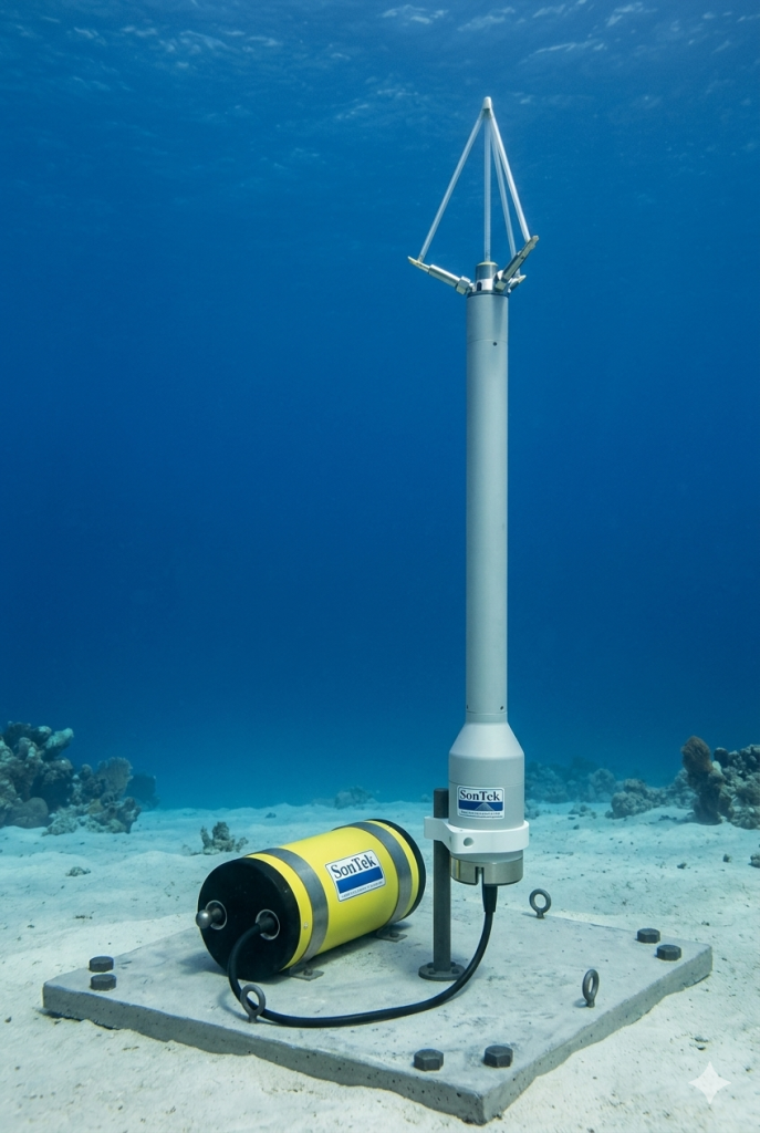
Tide Gauges: Monitoring and Recording Sea Levels
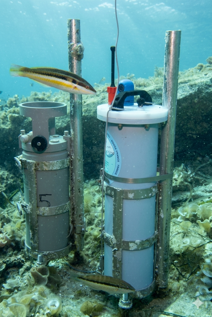
Distinct from wave measurement equipment, tide gauges are fixed instruments installed within port infrastructures. They are designed to continuously record sea level fluctuations caused by tides, storm surges, or long-term climate changes. Accurate readings from these devices are mandatory for establishing the chart datum (hydrographic zero) used in nautical navigation charts.
|
Site
|
Measurement Period
|
Instrument Type
|
|---|---|---|
|
Port of Algiers
|
05 months starting July 27, 2000
|
WLR7 water level recorder (Aanderaa type)
|
|
Port of Bejaia
|
02 months of measurements starting October 23, 2001
|
WLR7 water level recorder (Aanderaa type)
|
|
Port of Skikda
|
5 months of data starting January 23, 2002
|
WLR7 water level recorder (Aanderaa type)
|
|
Port of Arzew
|
5 months of data starting March 05, 2002
|
WLR7 water level recorder (Aanderaa type)
|
Weather Stations: Autonomous Environmental Monitoring
L’ONSM opère également un réseau de stations climatiques automatiques (de type Aanderaa), spécifiquement adaptées pour un déploiement prolongé dans des sites insulaires ou côtiers isolés, dépourvus d’accès au réseau d’approvisionnement électrique classique. Chaque station climatique comporte 11 capteurs météo distincts.
L’ensemble de ces paramètres environnementaux est stocké localement dans une mémoire DSU, tandis que la gestion énergétique de la station est assurée de manière autonome par un module solaire couplé à une pile rechargeable à grande capacité.
|
Site
|
Période de mesure
|
Type d’instrument
|
|---|---|---|
|
Au large du phare de cap Tipaza
|
12 mois de mesure à partir du 16/12/1998
|
Type: Aanderaa
|
|
Au large du phare de cap Matifou
|
02 mois de mesure à partir du 11/10/1998
|
Type: Aanderaa
|
|
Au large du port de Zemmouri
|
11 mois de mesure durant l’année 1999
|
Type: Aanderaa
|